Adventures

    Freeriding

    Freeriding on Gaustatoppen, one of Norway's most iconic peaks, offers an exhilarating experience for adventure-seeking skiers and snowboarders. Located in Telemark, this majestic mountain rises 1,883 meters above sea level and is known for its breathtaking views and challenging terrain. The peak, easily recognizable for its distinctive shape, has become a mecca for freeriders due to its vast, unspoiled backcountry areas and deep, powdery snow.

    Gaustaløypa

    Gaustaløypa, at Gaustatoppen in Norway, is a historically significant off-piste ski route, initially intended for the 1940 World Alpine Skiing Championships. Known for its challenging features, it boasts an extraordinary vertical drop of 1600 meters. From the summit of Gaustatoppen all the way down to the village of Rjukan. It is today open to ski for specialists at their own risk. The community has been actively involved in restoring this iconic track, aiming to make it a premier destination for both winter skiing and summer hiking. This effort highlights Gaustaløypa's potential as a unique and thrilling skiing experience.

    Randonée / Backcountry Skiing

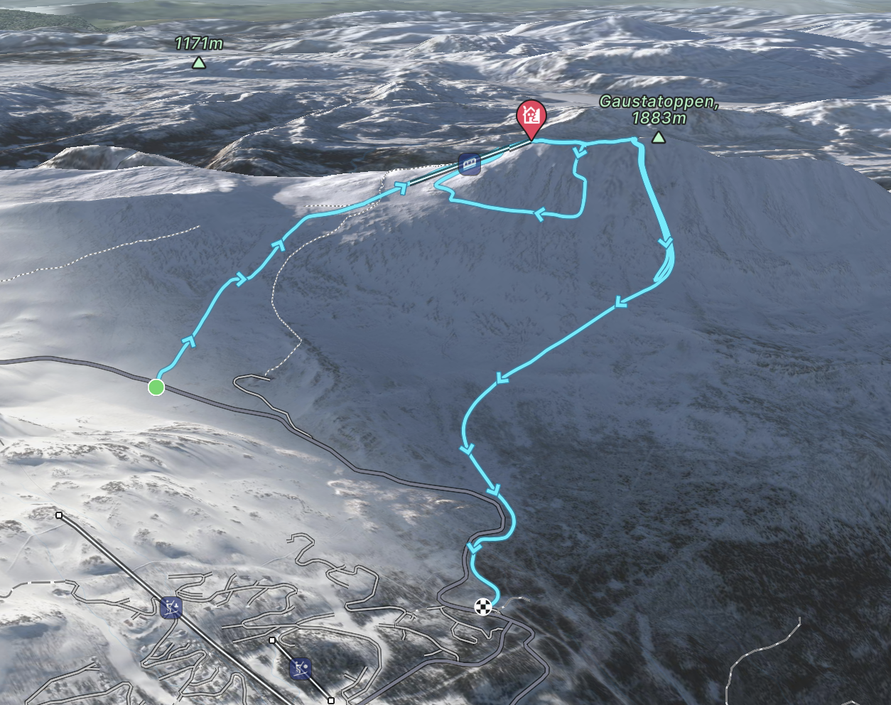
    Gausta route map

    Up Gaustatoppen from skiers parking / down under the tower

    When snow conditions are good, this is a great direct route up the mountain as there's no need to do tons of switchbacks. The direct route down is exciting for many skiers with a feeling of exposure but little risk assuming avalanche conditions are low and few rocks are exposed

    Gausta route map

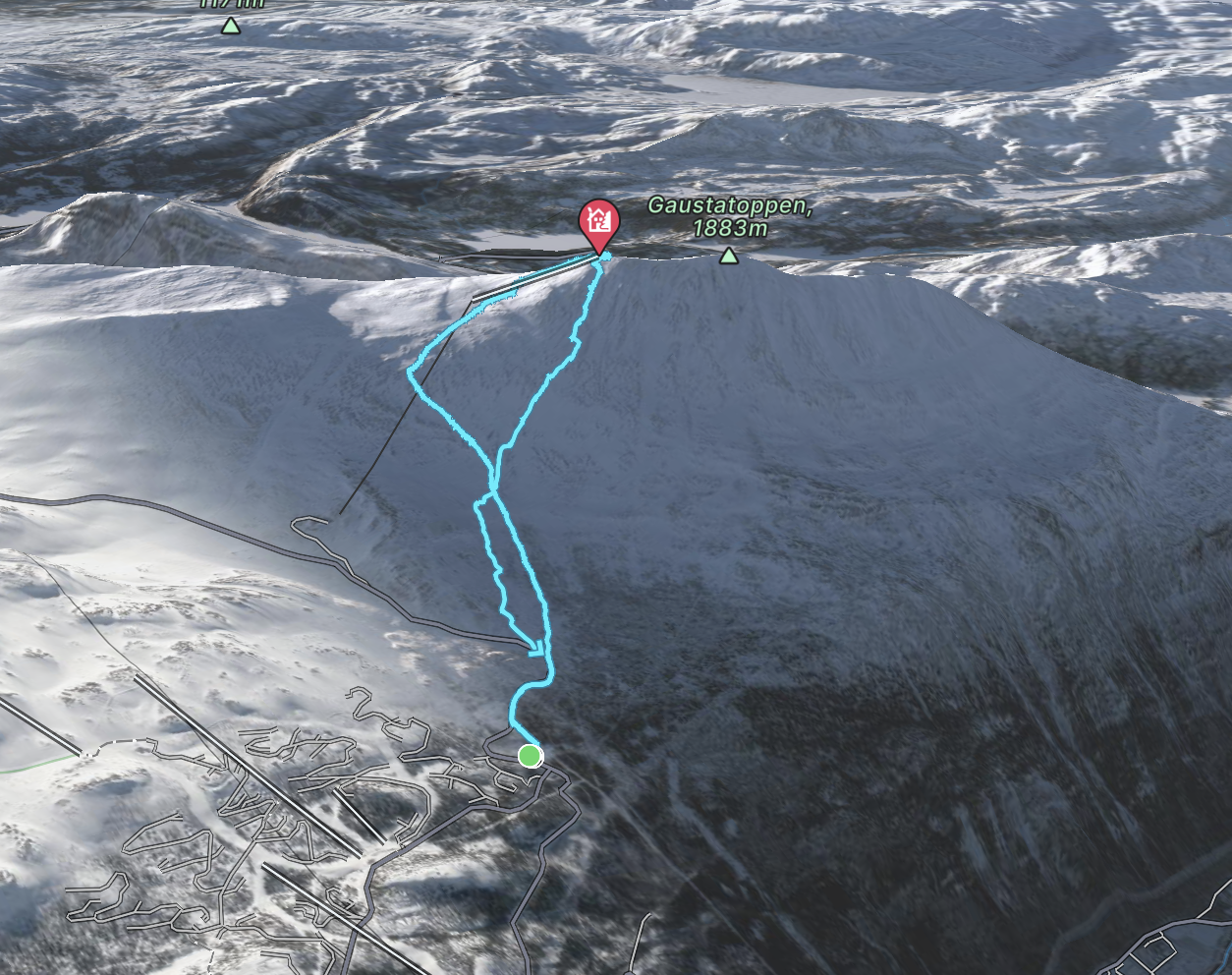
    Gaustabanen to Svineroi

    Even with poor snow conditions, or a small amount of snow, this line will help you to get to the couloirs at the Gaustatoppen. You start at the car park next to the lift, if the road is open. If not, it's just as easy from the parking lot on svineroi. On the way up, it is possible to follow the marked route with poles all the way to the top. At the top, follow the ridge to the preferred couloir (couloir 1-7 is recommended with a guide if you do not have the right education and knowledge). From here it is possible to ski down a couloir to the bottom, or stop mid way to skin/ bootpack to the top. On a long day 3 times at the top is fully achievable, and if you have a person who can pick you up, there is an added bonus of skiing the extra meters down to svineroi. Her you also get some tree lines.

    Hiking

    Gausta route map

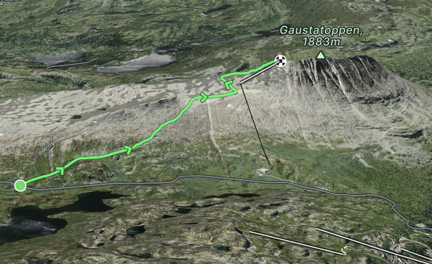
    Stavsro to Gaustatoppen Hiking Trail

    The trail from Stavsro to Gaustatoppen provides hikers with a memorable experience of Norwegian nature. Covering a distance of 4.3 kilometers, this trail starts from the base at Stavsro and ascends towards the peak of Gaustatoppen, reaching an altitude of 1,883 meters.

    Classified as a moderate hike, it's suitable for a wide range of hikers, from enthusiastic beginners to experienced trekkers. As one progresses along the trail, they're met with a variety of scenic views that showcase the best of Norway's landscape: rolling hills, clear blue lakes, and dense, green forests. Once at the top of Gaustatoppen, on days with good visibility, hikers are treated to an expansive view that encompasses a significant portion of mainland Norway.

    An interesting feature of Gaustatoppen is the Gaustabanen, an underground funicular railway. Originally constructed during the Cold War period, today it offers an alternative way to reach the summit, especially for those who might find the hike challenging.

    The Stavsro to Gaustatoppen trail, with its blend of natural beauty and a hint of history, stands as a testament to Norway's rich outdoor offerings and is a recommended trail for anyone visiting the region.

    Gausta route map

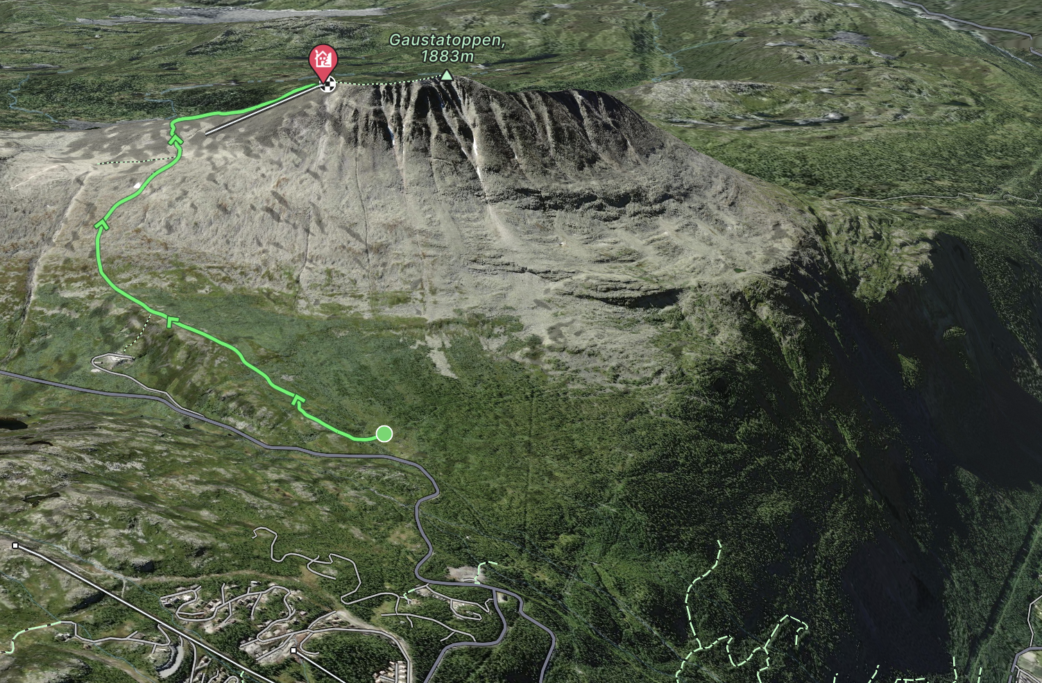
    Hiking from Svineroi to Gaustatoppen

    Nestled within the scenic backdrop of Telemark, Norway, the trail from Svineroi to Gaustatoppen is a testament to the region's unparalleled natural beauty. Starting at Svineroi, hikers embark on a journey that traverses a diverse array of landscapes, from verdant meadows dotted with wildflowers to rugged terrain marked by boulders and rocky outcrops.

    The route, covering a moderate distance, is peppered with glimpses of Norway's picturesque wilderness. Streams fed by melting snow offer cool respite, while expansive views of rolling hills and valleys stretch out beneath a vast sky. As one nears Gaustatoppen's peak, standing tall at 1,883 meters, the horizon broadens, offering a breathtaking panorama that captures a significant portion of mainland Norway.

    The trail, though accessible to most, does have its challenging moments, making the summit's vistas all the more rewarding. Along the way, markers and resting spots provide guidance and moments of reflection. The Svineroi to Gaustatoppen path is not just about the destination but the journey itself, with its undulating paths, occasional wildlife sightings, and the sense of serenity that envelopes hikers in the embrace of nature.

    In essence, this hike is a delightful blend of challenge, discovery, and unparalleled scenic beauty.

    Gausta route map

    Solstien (The Sun Path):

    • Length: The trail is about 1.5 km long one way and can take about 30-45 minutes to walk up.

    • Difficulty: It's graded as a blue trail, meaning it's of moderate difficulty. Most people with average fitness should be able to complete it, but there are some steep sections.

    • Route: The trail starts in Rjukan town and ends at the sun mirror's viewpoint. Along the path, there are several information boards explaining the history of Rjukan and the sun mirror project.

    • Views: Once at the top, besides getting a close look at the sun mirrors, one can enjoy a panoramic view of the town of Rjukan, the surrounding mountains, and the Gaustatoppen, which is Telemark's highest mountain.

    • Facilities: There's a parking facility near the starting point of the trail. Some benches along the path allow for breaks and taking in the views.

    If you're visiting Rjukan, walking the Solstien trail provides an opportunity to not only understand the innovative sun mirror solution but also to soak in some of the most breathtaking views the region has to offer.

    Mountain Biking

    Gausta route map

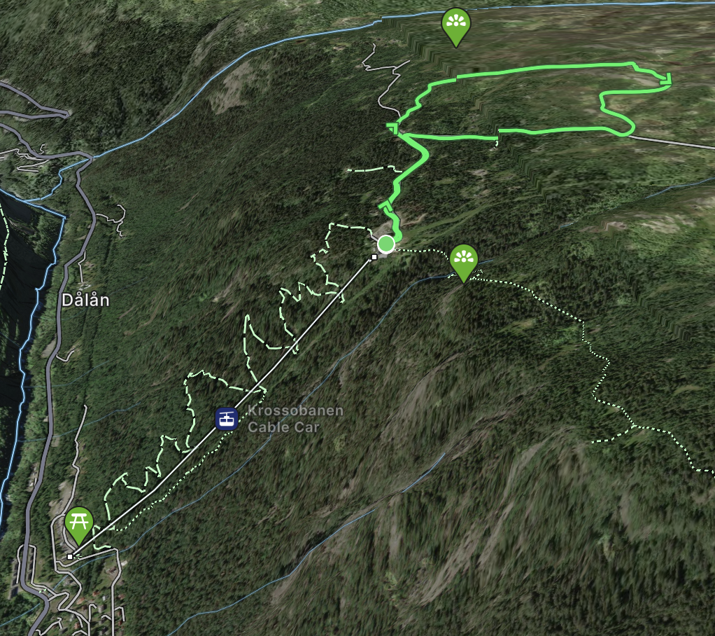
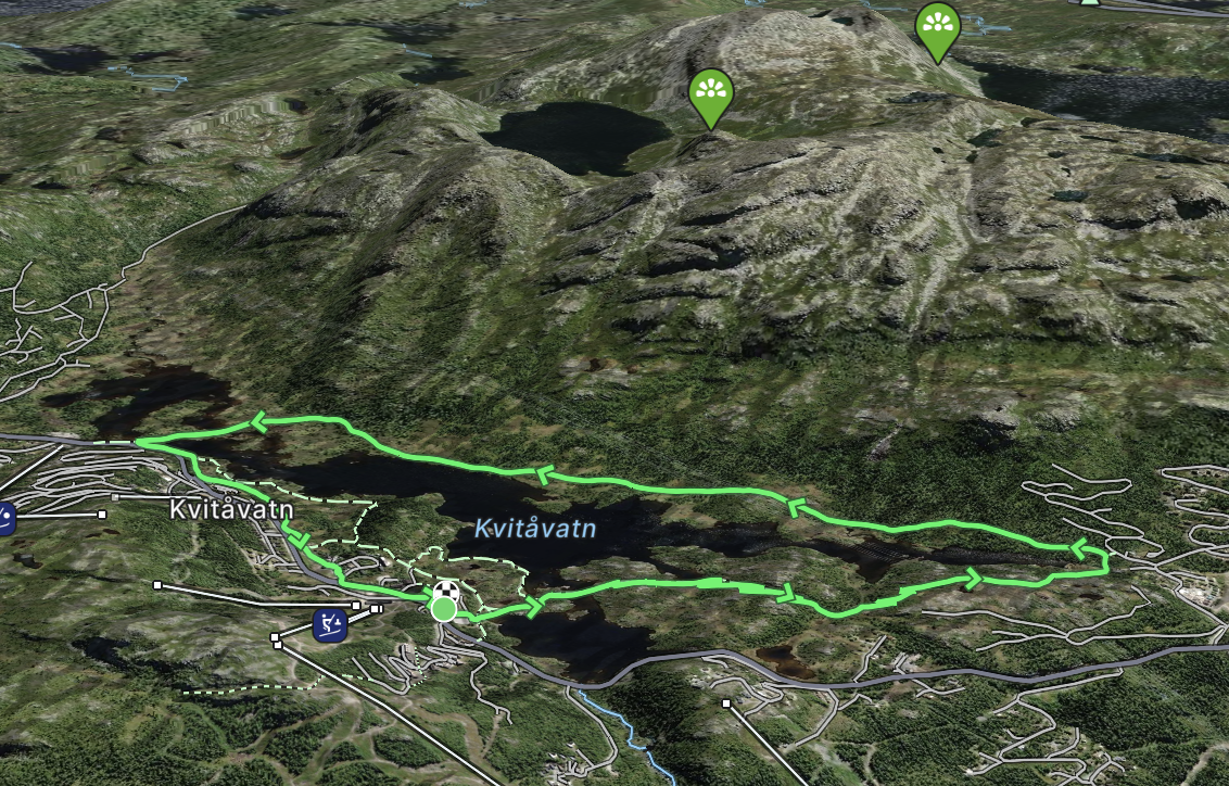
    Easy and beautiful trek along lake Kvitåvatn

    Beautiful trail for the whole family. amazing views over Gaustatoppen, the lake and the other peaks. Several picnic areas with fireplaces. along the way. A beautiful breeze..

    Gausta route map

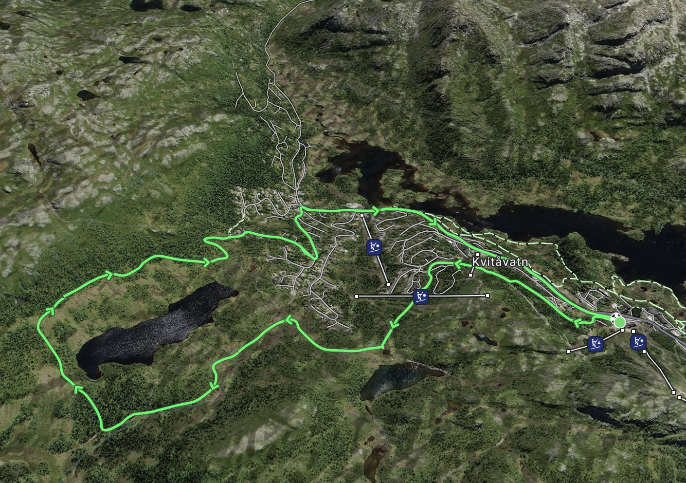
    Around Langetjønn

    This trail offers a gentle ascent for mountain bikers, winding up the scenic slopes of Skipsfjäll and encircling the serene Långvann lake. An ideal escapade for a day filled with adventure.

    Gausta route map

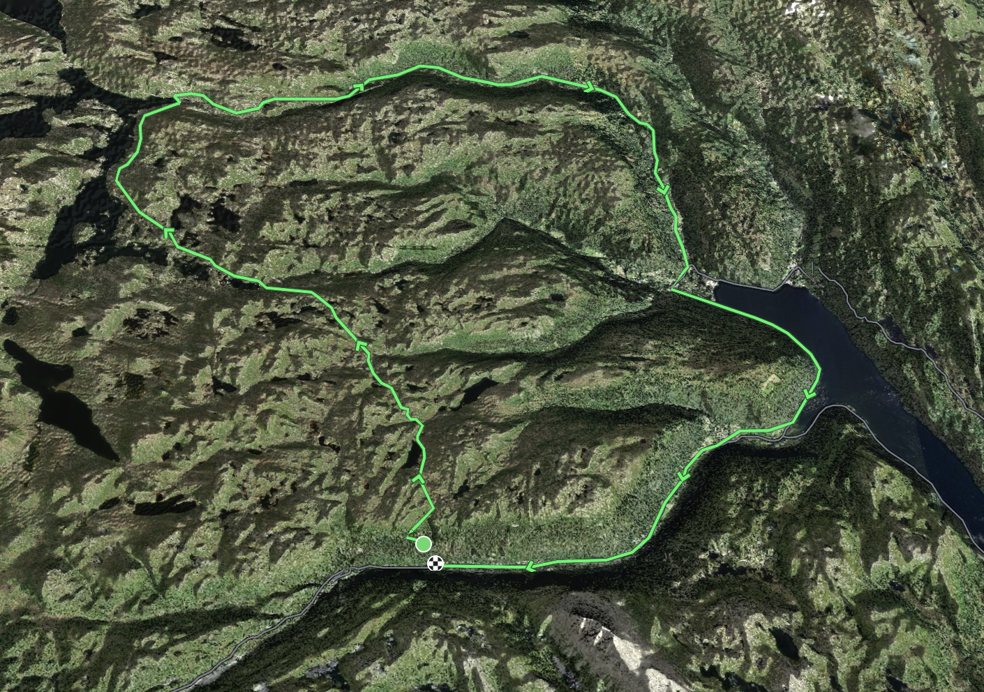
    Gvepseborg - Kalhovd - Atrå - Rjukan

    Embark on a thrilling 90 km bike journey through the majestic Hardangervidda, leading to Kalhovd Turisthytte, then onto Atrå, and concluding in Rjukan. This captivating expedition takes roughly 5.5 hours in total. Your adventure commences with a breathtaking ascent aboard Krossobanen – a cable car that swiftly elevates you from Rjukan's valley to the expanse of Hardangervidda in a mere 5 minutes. Brace yourself for an initial challenging 2 km uphill trek. By the 14 km mark, you'll achieve the trek's zenith, standing at an impressive 1,178 meters above sea level. As you approach Kalhovd Turisthytte, savor the scenic ride alongside the picturesque Kils and Kalhovd fjords, offering panoramic views of Hardangervidda.

    For those seeking a more leisurely two-day escapade, Kalhovd Turisthytte offers the perfect respite. Stay overnight and awaken refreshed for the next leg of your journey. The ride to the Turisthytte alone is worth it, taking about 2.5 hours and offering a delightful spot for lunch.

    From there, glide downhill through the serene Breiset and Gauset valleys, accompanied by the symphony of a gushing river and dotted with idyllic picnic spots. Upon reaching Atrå, take the main route back to Rjukan, a tranquil pedal alongside the serene Tinn lake. Do remain vigilant for traffic as you soak in the vistas.